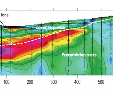
28/03/2025 11:46 | Geotechnics & Hydrogeology Geotechnical Optimization of Excavation Designs in Rock
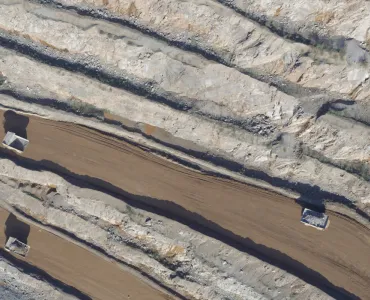
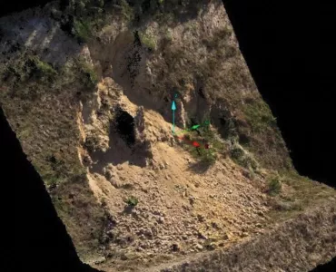
27/03/2017 12:45 | Geotechnics & Hydrogeology The Use of Drones to Improve Quarry Safety and Survey Efficiency
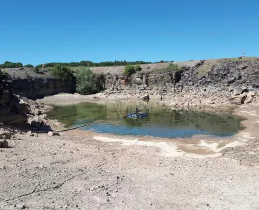
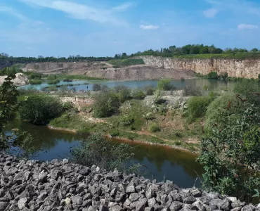
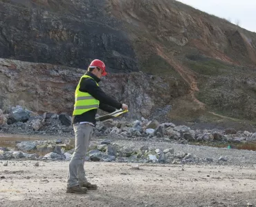
02/01/2002 15:22 | Geotechnics & Hydrogeology Identification Of Deterioration Hazard Potential For Quarried Rock Slopes