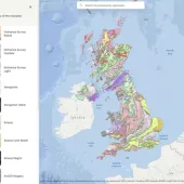
British Geological Survey launches the Maps Portal
BGS releases high-resolution scans of more than 6,000 maps providing the gateway to UK geology
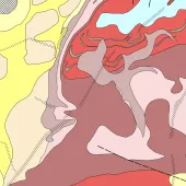
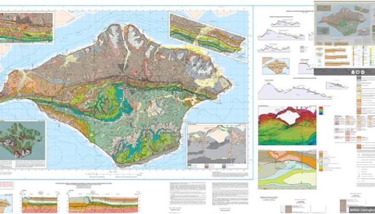
THE British Geological Survey (BGS) has released high-resolution scans of more than 6,000 geological maps which were previously published on paper, including the recent 1:50,000 mapping of England, Wales and Scotland, and geochemical and geophysical maps.
With the rapid progress of technology, BGS is at the forefront of change in the way geological data is collected and presented. Traditionally, geological surveys focused on the geology of the solid subsurface and produced paper geological maps.
Today, BGS strategy is to continuously monitor geological processes and develop 3D digital geological models. Outputs from these are already becoming available such as the iGeology and iGeology 3D mobile apps, and the Geology of Britain viewer.
To distinguish between the older paper maps and the new digital products, the BGS is releasing the Maps Portal which contains high-resolution scanned images of more than 6,000 small- and medium-scale paper-based maps that are free to view.
Paper copies of maps that are still in print will be available for purchase through the BGS online shop or through BGS map resellers, and BGS will continue to reprint popular titles and offer a ‘print-on-demand’ service for out-of-print maps. Digital copies of the scanned maps and sections are also available for purchase.
Professor John Ludden, executive director of the BGS, said: ‘BGS is increasingly moving to full digital delivery of its maps and this step allows downloads of our highest-resolution map products created and developed over 180 years that have underpinned the economic development of the UK.'