BGS artificial ground data: what do you need from a geological survey?
British Geological Survey seeking feedback on artificial ground data via short online survey
THE British Geological Survey (BGS) is seeking user feedback on artificial ground data: how it is used, what information users consider, and what BGS can do to improve its offering.
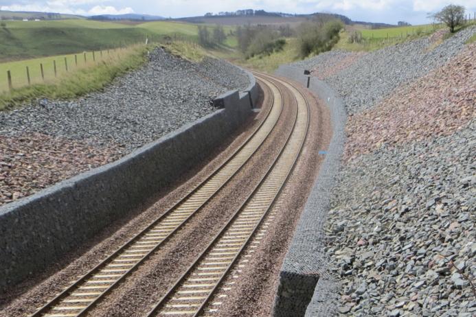
Artificial ground is found throughout the country in a variety of places, for example: railway and road cuttings and embankments, foundations under buildings, the waste and voids from surface and underground mining, roads, and landscaped parks and golf courses.
BGS has been creating national geological maps for nearly 200 years and often these maps are the only record of ground being altered by humans.
BGS is in the process of developing new methods for capturing and representing artificial ground information and wants to ensure that this is as useful and beneficial as possible to the stakeholder community.
The aim of BGS is to gain an understanding from stakeholders about the types of data that are used regularly, why that data is needed, and what decisions are made using the data.
Mapping of artificial ground is not easy and everyone treats these deposits differently. By providing a standardized method of collecting and displaying artificial ground data, BGS says there is significant potential to improve the communication of these features.
To this end, BGS has put together a short survey that aims to capture stakeholders’ thoughts and processes when working with artificial ground data. The survey will close on Friday 26 September 2025.

