Latest BGS Geology digital mapping data launched

British Geological Survey’s most widely used digital geological maps receive major upgrade
THE British Geological Survey (BGS) has announced that some of its most widely used maps have received a major update, including the 1:50,000-scale map series that now includes enhanced coverage of Great Britain.
BGS Geology – BGS’s digital geological maps covering Great Britain – is based on a suite of published paper maps enhanced with the latest digital mapping. It is periodically updated with information from field surveys as well as including previously unpublished maps or additional interpretation.
The latest version of BGS Geology 50K now covers the majority of Great Britain plus the Isle of Man, an estimated 236,000km2. This includes coverage for approximately 99% of the bedrock and approximately 95% of the superficial deposits across the country.
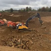
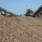
These geological maps provide crucial information such rock types and faults, forming a valuable resource for a wide range of uses.
Henry Holbrook, data sharing lead at BGS, said: ‘The 50K-scale map offers a balance between detail and coverage, making it highly useful for a wide range of applications, from regional assessment to local-scale intelligence.
‘The latest update incorporates all edits to the dataset since the previous version’s release in 2017. This includes new and revised tiles of geology data, updates to the coastline, and various corrections to geological features across the country. Also included is additional attribution on linear features depicting fault trace handedness and hanging-wall orientation on fault features.’
In addition to the 50K maps, BGS has also updated its 10K and 25K maps. BGS Geology 10K and 25K is the most detailed geological dataset BGS produces and around half of the country is now covered with this update.
‘This latest release of BGS Geology 10K and 25K includes new maps and is based on our highest-resolution survey mapping. It will continue to be of great help to the construction industry, the public sector, and academics,’ said Mr Holbrook.
BGS data for both BGS Geology 50K and BGS Geology 10K and 25K is available under licence. BGS Geology 50K map data can also be viewed in the GeoIndex viewer. Further information about BGS Geology 50K and BGS Geology 10K maps is available on the BGS website.