Forgotten Wrecks of the First World War
First published in the May 2019 issue of Quarry Management
How the marine aggregates industry helped the Maritime Archaeology Trust create a lasting legacy of information and learning resources for future generations
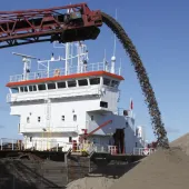
Data provided by Volker Dredging Ltd (VDL), a joint venture between Brett Group and Van Oord UK, has contributed to an extensive research project recording historic remains from the First World War that lie on the seabed along the south coast of England.
‘Forgotten Wrecks of the First World War’ was a four-year (2014–2018) project, funded by the Heritage Lottery Fund and devised and delivered by the Maritime Archaeology Trust, to coincide with the centenary of the Great War. The aim of the project was to research, record and raise awareness of maritime action during the First World War – an aspect of the conflict that has often been overshadowed by land-based operations, such as trench warfare on the Western Front.
There are over 1,100 wartime wreck sites along the south coast, including merchant and naval ships, passenger, troop and hospital vessels, as well as ports, wharfs, buildings and foreshore hulks. The scale and variety of this First World War maritime archaeology reflects the vital role that shipping played during the conflict, when Britain’s merchant fleet kept the country running and everything necessary for the war, from troops and munitions to materials and intelligence, moved by sea.
With many of these wreck sites inaccessible to divers, the Maritime Archaeology Trust used geophysical survey data supplied by Volker Dredging Ltd and other marine aggregate producers to refine the locations of wreck sites and establish the broad characteristics of a wreck before diving investigation was undertaken.
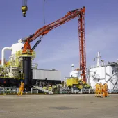
William Drake, general manager of VDL, explained: ‘Volker Dredging Ltd manage areas of seabed for sand and gravel extraction for use in either construction or for beach replenishment schemes. Before any dredging can take place, VDL must obtain a statutory Marine Licence from the Marine Management Organisation (MMO) and a commercial agreement from The Crown Estate who own the seabed around the UK. To obtain a Marine Licence the Company must satisfy the regulator (the MMO) that it fully understands the environmental impacts of dredging on an area and that any impacts are kept to a minimum.
‘Marine Licences require the company to undertake regular environmental monitoring such as bathymetric surveys to ensure the seabed is not over-deepened and can recover once dredging ceases in an area. When VDL were approached by the Maritime Archaeology Trust, we were more than happy to provide our bathymetric data to this incredibly worthwhile project.
‘The areas licenced for aggregate extraction cover several square kilometres and, where wrecks are found, exclusion zones are put in place to ensure they are not disturbed.’
Julie Satchell, head of research at the Maritime Archaeology Trust, said: ‘Geophysical surveys are invaluable in confirming wreck positions and identities, as well as interpreting archaeological features and assessing condition.’
Assisted by the data provided by bathymetric surveys, dives were planned and executed. Details of wrecks and more than 700 artefacts have been recorded. The vast amount of raw data researched and collected by more than 300 volunteers has been transformed in a highly informative interactive wreck database on the Maritime Archaeology Trust website.
The ‘Forgotten Wrecks’ database comprises high-resolution geophysical imagery provided by the Maritime and Coastguard Agency, dive videos of the wrecks, artefacts, historical photographs, 3D models and virtual underwater tours of sites, as well as site reports and the extraordinary stories of the everyday lives of these vessels and their crews as well and what happened to them – a lasting legacy of information and learning resources for future generations.
Data provided by VDL was used to build a case study of the SS Camberwell, which lies 5.5 miles to the east of the Isle of Wight. ‘VDL have long been aware of the existence of the Camberwell which lies within dredging area 340, and we were delighted that our survey data could help the project team to learn more about this forgotten wreck and bring its story to light, said Will Drake.
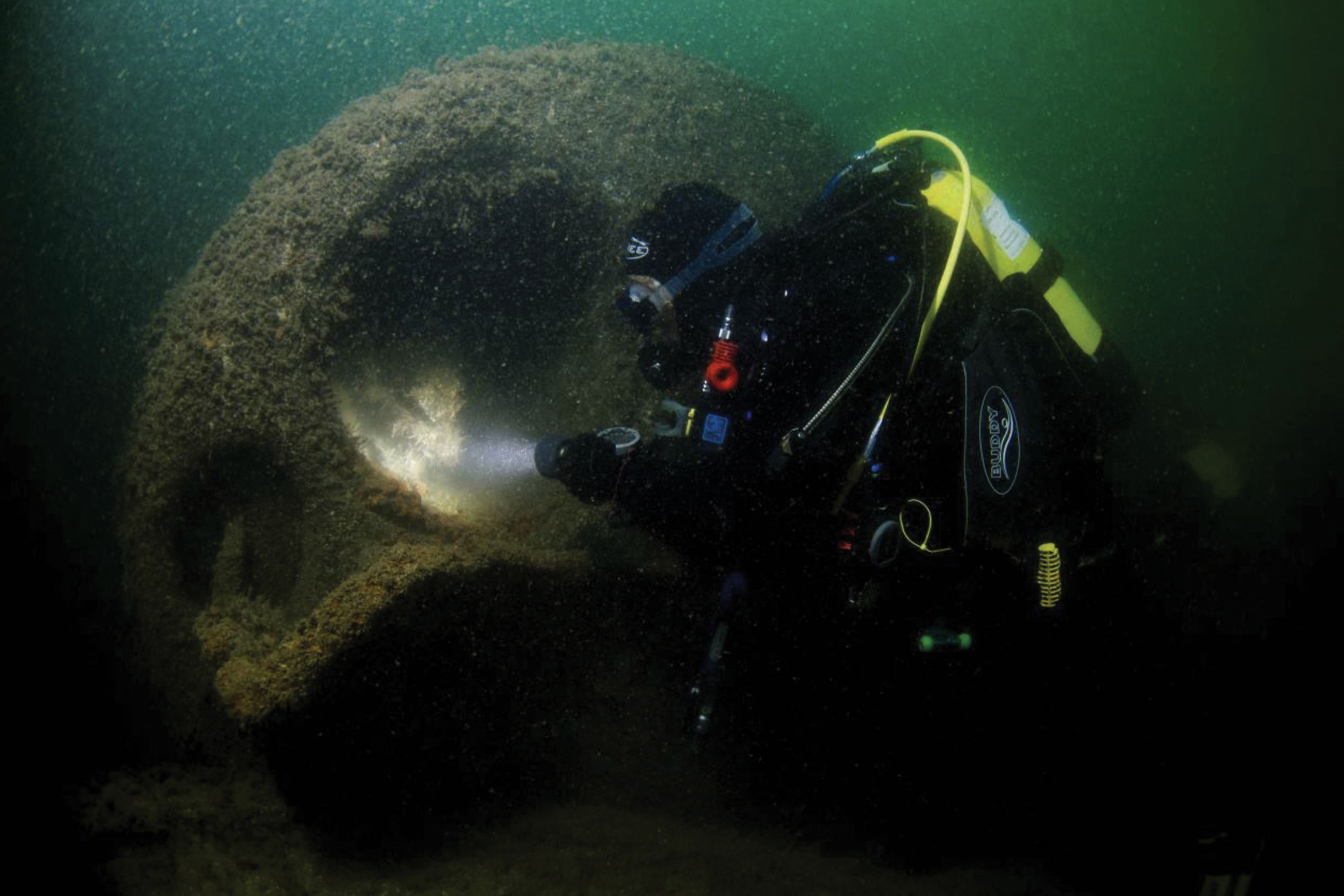
On the 18 May 1917 the SS Camberwell was steaming down the English Channel en route from London to India when it struck a moored mine. The hatch covers were blown off and it began to take on water and list to starboard before sinking quickly. The 65-man crew abandoned ship but one of the lifeboats capsized as it hit the water and seven Indian seamen drowned. The master, Frederick Adamson, and the other survivors were taken to Portsmouth.
Bathymetric images show that the ship is well broken up amidships, heeling over to starboard, and orientated north–south, with the bows to the south. The bows and stern are fairly intact, and the ship’s 4.7in gun is still in situ at the stern. Much of the cargo is visible among the wreckage; Camberwell was carrying a routine general cargo of 5,000 tons to India and the ports of Colombo, Madras and Calcutta. Its cargo included wine, olive oil, cement, fertilizer and pre-paid postcards for use by British troops stationed in India. Some of those postcards, as well as fragments of 10-rupee banknotes, were recovered when the wreck was found in the 1970s.
- Subscribe to Quarry Management, the monthly journal for the mineral products industry, to read articles before they appear on Agg-Net.com