Development Work At Abandoned Quarry Sites
The need for thorough ground investigation
By K.H. Nicholls, Geotechnics Ltd
Current best practice in the quarrying industry is conducted in accordance with the Quarry Regulations 1999, which require that operators carry out appraisal and assessment of significant geotechnical hazards. There is, of course, older legislation (Mines and Quarries (Tips) Regulations) which deals with the particular problems associated with substantial tip sites, whether active, closed or abandoned.
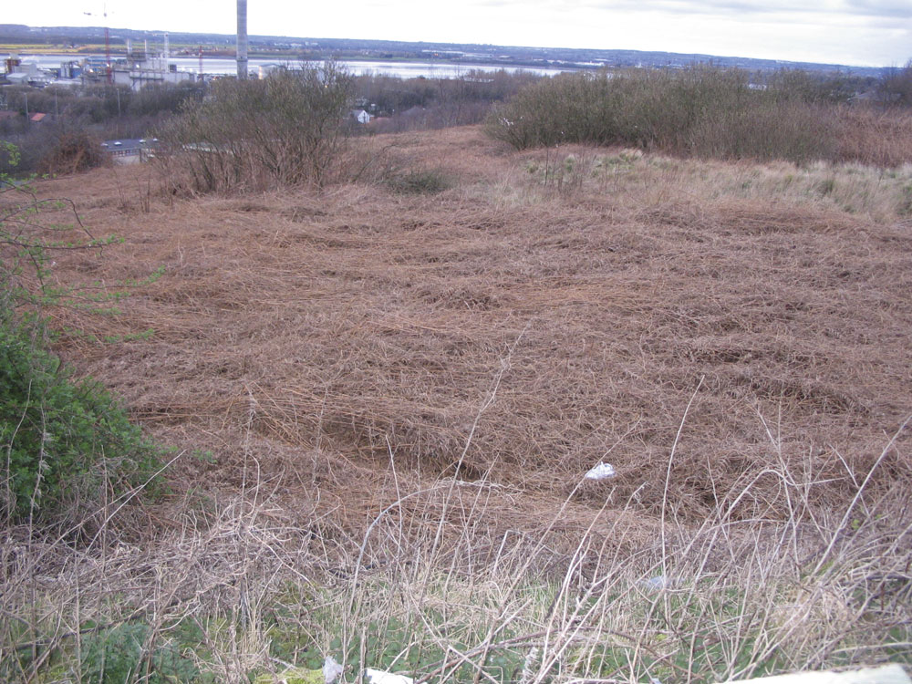
However, past mineral working activity was often piecemeal in nature. In many cases records were poor and memories are unreliable. Developers faced with uncertainties associated with their groundworks, but looking for secure budgets and reliable timelines, need to tread very carefully when dealing with former quarry sites. Natural processes of plant growth and animal occupation of sites, as well as former reclamation works, can cause ground risks to be missed as ‘greening up’ occurs over timescales of ten to a few hundred years.
Desk study
Key to any successful investigation strategy is a full and proper desk study. Regrettably, these days it is easy to download a set of historical maps, obtain a BGS site report and a Coal Authority report, bind them together and call them a desk study. Unfortunately, reliance on such ‘off-the-shelf’ investigation reports poses potentially considerable risks in that, all too often, critical pieces of historical context may be missing.
One of the key items of historical information frequently not present in standardized desk study packages is the mid-19th Century tithe map. This is typically available at county library institutions and predates Ordnance Survey first-edition mapping. It is often a source of valuable information on former land usage, particularly when read in conjunction with the accompanying apportionment. Some county libraries offer online side-by-side scanning of tithe plans with modern mapping, and in some cases aerial photography. The quality of information available is illustrated in figure 1. This is an extract from the 1847 tithe map for the Halton area of Widnes, published on the Cheshire West and Cheshire Records Office website: (http://maps.cheshire.gov.uk/tithemaps).
The accompanying apportionment records Plot No. 127 as being both owned and occupied by John Tomkinson, and to be the ‘Scite of old quarry now occupied with spoil’. The land use is classified as ‘Waste’.
There are many other potential sources of information which can shed light on local quarry history. These may include published historical documents, information in private collections (landed estates), industrial/museum archives, archaeological collections etc. In reality, the only way to ensure that as wide a range as possible of good-quality sources is consulted is to utilize the skills of locally based individuals who are best able to locate useful, relevant information.
Walk-over
A thorough walk-over is also an essential weapon in the engineering arsenal. Again, it is possible to obtain a reasonable understanding of the site via computers without leaving the desk. Google Earth offers aerial views of the site, and Google Street View allows viewers to drive past the site entrance. There is, however, no substitute for a site visit, where an old shaft hidden beneath the tree canopy may be apparent, or remnants of past tipping activity can be inspected. The act of walking the site itself allows a judgement to be made as to the conditions underfoot (critical information for planning investigation works), the nature of vegetation cover and the potential presence of contaminants. To a geologist, much can be made from the physical ‘lie of the land’. A lot of information can become apparent in a walk-over, from the observation of street names (eg Sand Pit Lane), public house names (eg Quarryman’s Rest) and, of course, the observations of members of the local community who may provide information, some more accurately than others, as to who worked in the quarry and when, how backfilling operations were carried out, and even sometimes offering detailed knowledge of backfill materials and handling procedures.
Site investigation
A thorough desk study and walk-over survey should allow the planning of a good site investigation, which will allow the developer to establish ground-related risks associated with the site’s previous usage. For typical low-rise developments on former quarry sites, critical issues are likely to be:
- The depth of the original excavation.
- The location of former quarry high walls.
- The groundwater regime.
- The ground gas regime.
- The nature of any quarry backfill materials.
- The stability of exposed quarry highwalls.
- The stability of former tip sites.
Site investigation is likely to comprise some or all of the following works: trial pit excavation (fig. 2); window sample operations (fig. 3); cable percussion drilling (fig. 4); rotary drilling, both open-hole and cored (fig. 5); geotechnical and chemical testing; and groundwater and ground gas installations and monitoring. Where appropriate, these standard investigation techniques may need to be supplemented with site-specific investigation techniques, such as discontinuity surveys, geophysical exploration and in-situ testing.
Common development issues
Some of the key issues that developers taking on old quarry sites will need to address include:
- Slope risk reassessment.
- Total and differential settlements.
- Contamination (human health).
- Contamination (controlled waters).
- Gas-generation potential.
These are considered briefly in turn:
Slope risk reassessment
In working quarries, face layouts and slope design are intended to provide an appropriate level of security during the excavation works. Within this framework, slopes generally stand as steep as possible, as by doing so the volume of winnable material is maximized. Modern planning procedures for quarry operations will include provision for end-of-life design, with slopes made safe for the envisaged end-of-life land use. However, old abandoned quarries are often left with faces in a condition unsuitable for the majority of alternative land uses. It is certainly the case that slopes such as those shown in figure 6 would have been acceptable in the environment of a working quarry, but it is unlikely that they would be deemed satisfactory for any land use allowing unrestricted public access to the toe of the slope. In developing the site, it is likely that extensive rock engineering will be required to bring slopes of this nature to a condition suitable for alternative uses involving public access.
Total and differential settlements
Many old abandoned quarries will have been backfilled with poor-quality materials (see fig. 2). While the existing surface may have reached some level of equilibrium, the addition of any new loads may renew settlement of the backfill materials. Such settlements are entirely dependent on the nature of the material incorporated within the quarry void, and the amount of compaction or treatment applied to that material, either at the time of placement, or since. Settlements are likely under any newly placed fill or loaded ground. As well as posing risks to new-build structures, serviceability issues can be significant for roads, pavements and buried service installations. While sound engineering design can deal with many of the issues arising from the compressible nature of loose fill materials, extensive investigation will be necessary to properly characterize the materials present.
A particular problem regarding differential settlement (ie the difference between the ground settling the most and that settling the least) will be associated with the line of any former quarry high wall. Structures which span this feature will need to be carefully designed, potentially involving different foundation solutions at different locations in the building.
Designers will also need to be aware of the potential impact of time-related settlement criteria, particularly when dealing with a combination of granular materials (where settlements are rapid, almost to the point of instantaneous) and cohesive materials (where settlements can take many years to complete).
Contamination (human health)
In less environmentally aware times excavations in the ground were attractive places to deposit unwanted materials. In many cases this deliberate tipping was seen to be a ‘win-win’ option, allowing worked-out voids to be reclaimed from standing water by raising land locally, while at the same time allowing disposal of waste from the local gas works, refuse destructor, foundry or slaughter house. This unrecorded and frequently entirely uncontrolled tipping gives considerable cause for concern for any new-build development taking place on, or in close proximity to, backfilled quarry sites.
New-build development schemes that require planning permission will pass through the planning regime and should, therefore, pass through the local authority planning regime, which is responsible for protecting matters of human health. Few authorities will have completed their task of identifying all ‘contaminated land’ within their area, but will utilize ‘conditioned’ approval or advice notes to ensure that potential contaminated land is dealt with utilizing current practice. This is likely to include a phase-one desk-study report, a phase-two intrusive investigation (if required following the findings of the phase one assessment), preparation of formal remediation strategies and submission of verification reports upon completion.
Contamination (controlled waters)
The Environment Agency is the regulator charged with protecting controlled waters from potential contamination. As such, developers taking on liabilities for existing old quarry sites need to be completely satisfied that the nature of the ground is not likely to cause the regulator to identify the developer or future landowners as potentially responsible persons in the event of potential future contamination.
As discussed previously, old quarries can be full of many different sources of contamination, and disturbance during construction and redevelopment has the potential to release such contamination, currently secure on site, into the wider environment and specifically into controlled waters. Also, it should be stressed that there are very real dangers that inadequately planned investigation work can, itself, contribute significantly to potential risks by, for example, drilling through a clay-sealed quarry into an underlying sand aquifer.
Gas-generation potential
The degradation of organic materials entrained within fills, due to the work of bacteria, leads to old quarry sites being a significant potential source of methane and carbon dioxide. The actual quantity of gas ‘make’ will depend on the nature of the materials incorporated within the body of the landfill. However, sites where active landfilling of waste has occurred could be anticipated to have high flow rates and high concentrations of landfill gases. Even quarry sites that have not been backfilled as active landfills, but are simply part-occupied by deposits of made ground, can generate significant gas concentrations and flow rates.
Investigation of the local gas regime will require the installation of a number of boreholes with gas-monitoring equipment, and monitoring of the devices over a period of months, in the general case.
Methane is the landfill gas of most concern due to its potentially explosive nature in air. Carbon dioxide is an asphyxiant gas. Other organic gases can be generated in landfills along with non-organic problematic vapours and gases (such as sulphur dioxide, nitrous oxides and ammonia). Monitoring will need to be designed to search for gases appropriate to the ground conditions encountered.
Conclusions
A properly thought through ground investigation is a fundamental prerequisite for the successful redevelopment of former quarry sites. This will include a staged approach to the investigation following a logical sequence comprising a desk study and walk-over, on-site pitting, drilling and testing works, laboratory testing and formal reporting.
Failure to undertake such an investigation in a thorough manner could expose the developer to a wide range of ground-related risks, and even potential litigation.
For further information contact Geotechnics Ltd on tel: (01244) 671117; or email: knicholls@geotechnics.co.uk