New marine aggregates report
BMAPA and The Crown Estate publish ‘Fifteen-Year Review’ of marine aggregate dredging
THE British Marine Aggregate Producers Association (BMAPA) and The Crown Estate have published a new ‘Fifteen-Year Review’ which provides a unique overview of the changes in the area of seabed licensed and dredged between 1998 and 2012, allowing greater understanding of the nation’s marine mineral dredging activity and more sustainable management over the long term.
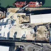
The report makes available data on the total extent of dredging that has taken place, known as the cumulative dredge footprint, and shows that the area of seabed dredged annually has decreased during the 15-year period.
It follows the 15-year anniversary, in 2013, of the ‘Area Involved Initiative’ and builds on the previous five- and 10-year reviews, published in 2005 and 2009 respectively.
Mark Russell, director of BMAPA, said: ‘We are very pleased to be launching our latest review to mark 15 years of our Area Involved Initiative. Since its inception, this initiative has generated high-quality, high-resolution data on the annual extent and intensity of marine aggregate operations.’
Mark Wrigley, marine minerals operations manager for The Crown Estate, which owns most of the sand and gravel resources off the UK coast and awards agreements for commercial extraction, added: ‘Over the last 15 years, the annual ‘Area Involved’ report has provided valuable environmental indicators on the marine aggregate industry’s performance at both national and regional scales.
‘Following the introduction and development of marine planning, this kind of detailed spatial and temporal data will become increasingly important in supporting the sustainable management of UK waters.’
The review reports on trends across three key areas:
Area licensed
- Between 1998 and 2012 the area of seabed licensed decreased by 748 square kilometres
- 1,237 square kilometres of licensed area was surrendered
- 489 square kilometres of new area was licensed
- The area licensed within 12 nautical miles of the coast decreased, while the area of seabed licensed beyond 12 nautical miles increased slightly.
Area dredged
- Between 1998 and 2012 the area of seabed dredged annually decreased by 126 square kilometres
- The area of seabed dredged per year ranged from 222 square kilometres in 1998 to 97 square kilometres in 2012.
Cumulative footprint
- The cumulative area of seabed dredged between 1998 and 2012 totalled 512 square kilometres.
- The area of new seabed dredged each year significantly decreased to only 6.1 square kilometres in 2012. In 2004 this figure was 16.3 square kilometres and in 2008 it was 14.5 square kilometres.
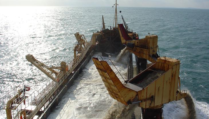
- A total of 314 million tonnes of marine sand and gravel was dredged from Crown Estate licence areas between 1998 and 2012. Averaged across the cumulative footprint, this represents 37cm of sediment being removed across the entire area dredged – equivalent to a single pass of a drag head.
- In reality, the extraction activity will not be spread evenly across the dredged area, and some areas will be dredged more intensively while others may not be dredged at all. Consequently, the actual thickness of sediment removed per unit area will vary according to the intensity of dredging operations and the depth limits of the sand and gravel deposits being targeted. Nevertheless, the relationship between dredged area and extraction tonnage provides an indicator of the relative scale of dredging intensity.
The ‘Area Involved’ initiative commenced in March 1999, when BMAPA and The Crown Estate made a public statement of intent which committed both parties to reviewing all dredging licences on a rolling five-year basis, surrendering areas no longer containing economic resources of marine sand and gravel, and publishing an annual report detailing the extent of dredging activities within licensed areas.
Both BMAPA and The Crown Estate are committed to maintaining and developing the Area Involved reporting initiative, and the 16th annual report covering activity in 2013 will be published shortly.